Description
Raster Charts in GEOTIFF Format
GeoTIFF is a standard which allows georeferencing information to be embedded within a TIFF file.
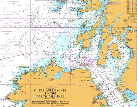
Nautical charts for use in geographic information system (GIS) and other similar mapping systems. Chart files can be purchased individually to meet individual requirements.